


Region of Murcia
The Region of Murcia is located on the south-east of the Iberian Peninsula (on image lower). It has an area of about 11,313 km2 and 250 km of coastline, with two seas, the Mar Menor coastal lagoon and Mediterranean Sea.
 in mountains of Cartagena, unique locality of continental Europe")
It is a very mountanious region, geologically situated in the morphologic unit of the Baetic Cordillera, where we can be recognize three zones or big sets of mountains alignments, from north to south: Pre-Baetic, Sub-Baetic and Baetic zone, all of them with clear orientation from south-west to north-east. In the inland of the Región de Murcia the highest points are Revolcadores, in Sierra Seca (2,014 m), Peña de Moratalla, in Sierra de Taibilla (1,968 m), Villafuerte (1,743 m), Mojantes (1,611 m), Espuña (1,583 m), Cambrón (1,529 m), El Gigante (1,493 m), El Carche (1,372 m), La Pila (1,266 m), Salinas (1,238 m), Cabezo de la Jara (1,247 m), Almeces, in the Sierra de Ricote (1,122 m), Carrascoy (1,056 m), etc. In the coastland the elevations of Talayón, in Sierra de Almenara (879 m) stand out, and Peñas Blancas in the mountains of Cartagena (625 m).

This heterogeneous relief is completed with the plains of the Campo de Cartagena, Huerta de Murcia, Campo del Cagitán, Llano de Tornajuelos, the corridor of Guadalentín’s valley, the fields of the Altiplano, etc. The hydrographic net is vertebrated by the valley of the Segura river, whose main tributary river in Murcia is Guadalentín. The rivers Alhárabe or Benamor, Argos, Quipar and Mula end in its right margin. At its left margin three important ramblas, del Judío, del Moro, Rambla Salada and Río Chícamo spill. Among the riverbeds that die directly to the sea, the ramblas of Ramonete and las Moreras end to the Mediterranean Sea and the rambla of Albujón ends to the Mar Menor coastal lagoon.

The main geological materials in the Región de Murcia are limestones and marls. The first ones preform most of the great heights (Noroeste mountain ranges, Espuña…) while the second ones are present at the hot basins of the inland (Mula, Abanilla…). Siliceous lands are predominant at the south-west quadrant (Aguilas and Lorca mountain ranges) and become very unusual at the rest of the region, where usually appear associated with the contact metamorphism (Sierra de Carrascoy, Cartagena mountain ranges). There are also some little mountains as a result of recent vulcanism, very punctual, distributed mainly at the coastal zone (for example, the islands of the Mar Menor area) and at the inland, but less frequenly. The same happens with the dolomitical sedimentary deposits, that are found occasionally and associated with great limestones heights (Sierra de Villafuerte).

As for as climate is concerned, this territory is identified by mild temperatures, even in winter, with an average of over 18ºC, and semiarid conditions, over 60% of the region, below 300 mm of annual precipitation. The exception is present at some localities in the inland mountains, mainly at the Noroeste area, where the orography is propitious, so the tempearature average is slightly lower and precipitations reach, in some places, up to 600 mm/m2 per year (Sierra de la Muela in Moratalla).
Finally, regarding some socio-economical facts, we can see the main factors that generate wealth in Región de Murcia such as tourism and agriculture (fruits, vegetables, flowers, olive oil and excellent wines). Taking into acount, the registered population in this territory, of about 1,335,792 habitants in 2005, we must consider that nearly the third part belongs to the capital, the city of Murcia (409,810 hab.), seventh metropolitan area of Spain.
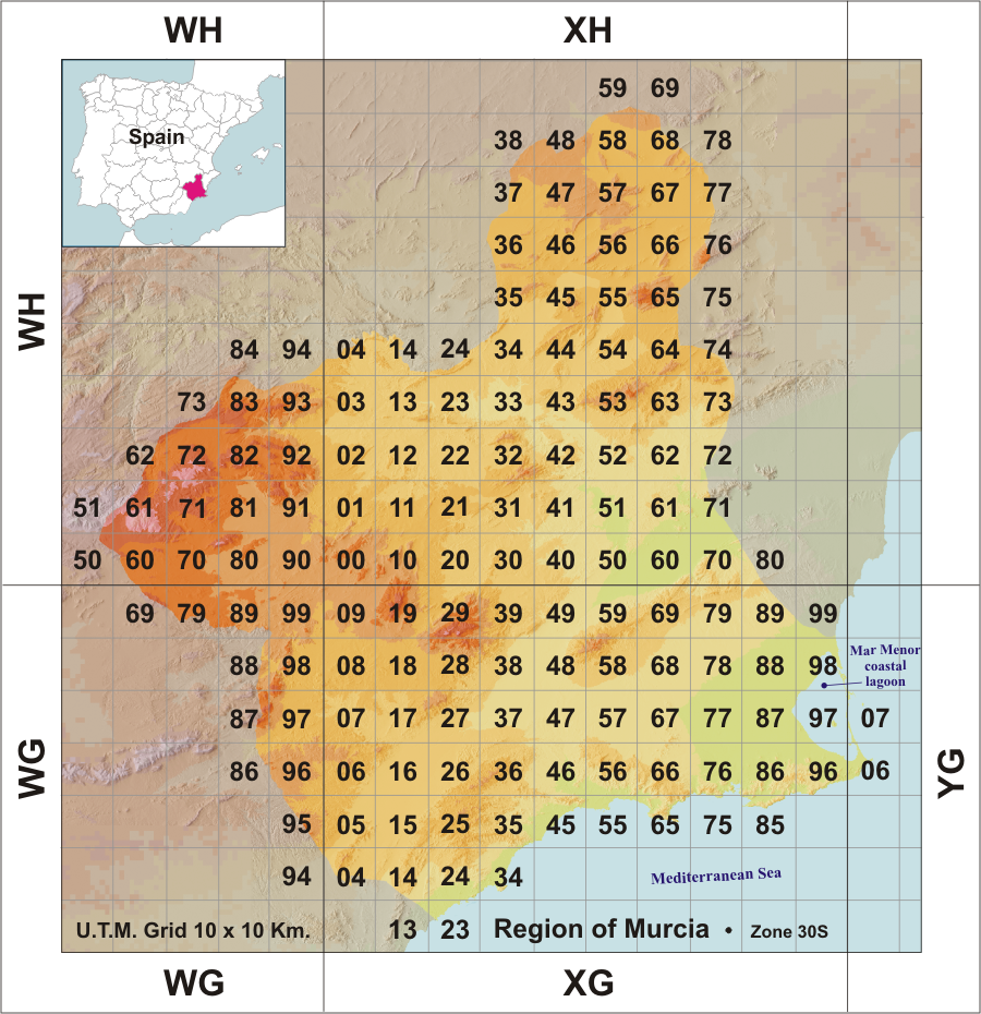
[This brief description about the Region of Murcia was published on an article in ‘Journal Europäischer Orchideen‘ (2006). The map with UTM 10 x 10 km grid is a modification of a cartography of the ‘Lista patrón de la flora de Murcia’ (2009), based on a previous map of Jesús Robles]
[Este breve resumen sobre la Región de Murcia puede leerse en español, en el documento previo a la traducción al inglés del texto del artículo sobre las orquídeas de la Región de Murcia, España (2006)]